Turning Data into Decisions
i2D transforms complex geotechnical data into actionable insights supporting every stage of your dredging project with clarity and precision.
Insightful Geotechnical Data Processing
The amount of digital geographic data that dredging projects generate can seem quite extensive at times. Furthermore, data often requires geographic data processing before interpreting and being able to use it.
That is why we believe in using Geographic Information Systems (GIS) when needed, considering its importance. Although these large geographic datasets usually require much effort, i2D has already pre-invested in tools to deliver more quickly.
Many large geographic datasets could benefit dredging projects, such as:
- Bathymetric surveys
- Dredging designs
- Geotechnical and geophysical investigations
- Satellite images
- Performance monitoring data
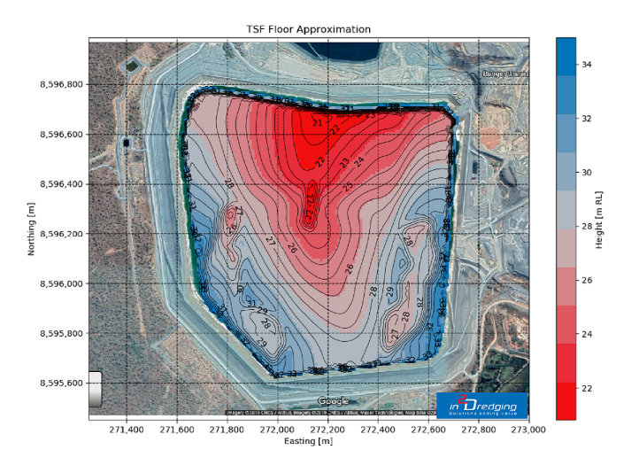
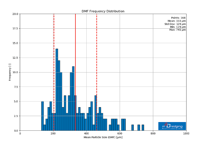
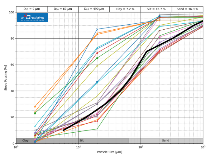
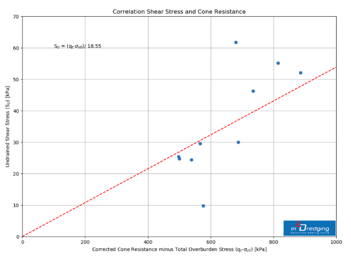
To use such datasets, we have developed flexible ready-made tools that read and process large datasets using coordinate and data transformation methods. These tools easily combine several sources of information as well as present multiple data sources into a single graph. We can potentially provide ground‑breaking insights into certain dredging projects, from conception to execution and also claims. These tools can provide insights into:
- Indisputable evidence on events
- Soil quantity and quality, including the likely probability of certain soil conditions being present at a site
- Data quality and coverage
- Correlations between physical parameters and confidence levels
- Operational performance
- Habitat mapping
In addition, i2D has a large network of geotechnical, geophysical and bathymetric surveyors able to acquire and deliver high-quality datasets on schedule.


